-40%
101 maps IDAHO state PANORAMIC genealogy old HISTORY DVD
$ 3.16
- Description
- Size Guide
Description
Your browser does not support JavaScript. To view this page, enable JavaScript if it is disabled or upgrade your browser.Click Here. Double your traffic. Get Vendio Gallery - Now FREE!
Rare Map Collection
This DVD is part of our Historic Map and Atlas Collection.
We have dozens of Atlas maps on DVD and CD ranging from the 1500s to the 1900s covering many areas and topics.
Please Check our Ebay Store for what's available.
FOR MANY MORE EDUCATIONAL CD TITLES
ON THIS AND MANY OTHER SUBJECTS
PLEASE VISIT OUR EBAY STORE
VERY LARGE HIGH RESOLUTION
MAP COLLECTION
ON DVD!!
(please see full table of contents and sample illustrations below)
This DVD Contains
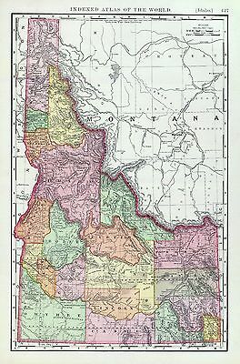
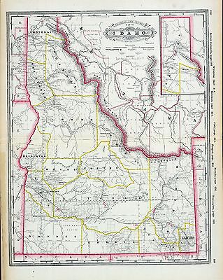
101 Maps of
Idaho
Including
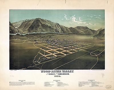
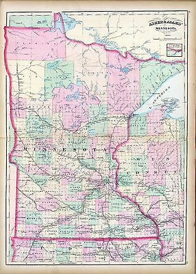
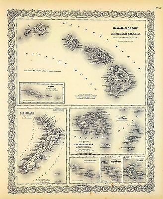
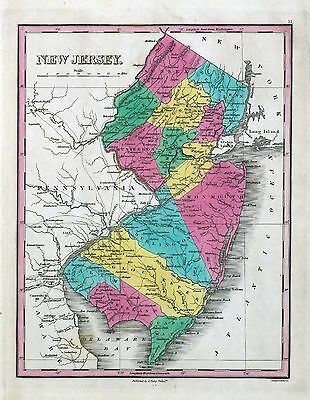
44 PANORAMIC MAPS
of various Idaho Cities
These are scans of the
ORIGINAL
maps by various Cartographers.
on DVD
System requirements
PC or Mac compatible.
Files are simple PDF files with a basic HTML interface (just like viewing a webpage)
Works with ALL versions of Windows.
Maps of
Idaho
0041037
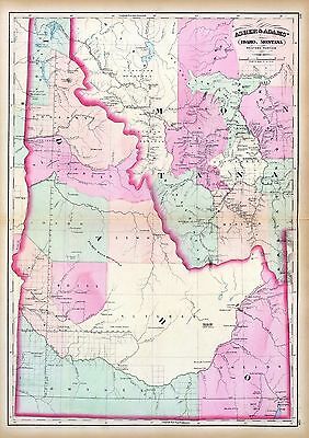
Idaho, Montana west
Asher & Adams
1874
0586049
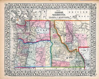
Idaho.
Hand colored. Relief shown by hachures. Shows counties, Indian reservations, townships, settlements, rivers, etc.
Mitchell, Samuel Augustus
1880
0806001
Road map Idaho, Mont., Wyo.
Rand McNally and Company; Texas Company
1937
2212244
Partie des Etats-Unis. Amer. Sep. 39.
Hand col. lithographed map. Relief shown by hachures. Shows Indians tribes with populations, Lewis and Clarke's route, etc. Covers parts of Idaho, Montana and Wyoming.
Vandermaelen, Philippe
1827
2738014
32D. Part Of South-Eastern Idaho
Part Of South-Eastern Idaho, Atlas Sheet No. 32(D). Issued June 30, 1879. Weyss, Lang & Herman Del. Expedition of 1877, Under the Command of 1st Lieut. Geo. M. Wheeler, Corps of Engineers, U.S. Army. U.S. Geographical Surveys West Of The 100th Meridian.
1879
2738015
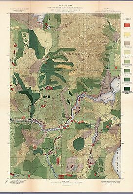
32D. Land Classification Map Of Part Of South-Eastern Idaho. showing land classification. In full color with area and percentage of classifications noted.
Wheeler, G.M.
1879
2738020
41A. Parts Of Southern Idaho & Northern Utah
Wheeler, G.M
1880
2773005
Map Of The Road From Missouri To Oregon ... Section V.
Fremont, J.C. ; Preuss, Charles
1846
2773006
Map Of The Road From Missouri To Oregon ... Section VI.
Fremont, J.C. ; Preuss, Charles
1846
2773007
Map Of The Road From Missouri To Oregon ... Section VII.
Fremont, J.C. ; Preuss, Charles
1846
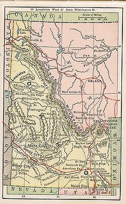
3565140
Idaho.
Rand McNally and Company
1897
4520047
Idaho
Rand McNally and Company
1879
4619000
Territory Of Idaho
U.S. General Land Office
1879
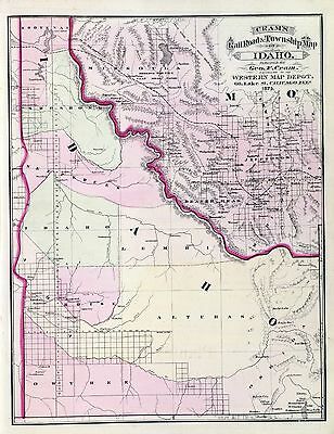
5370024
Idaho
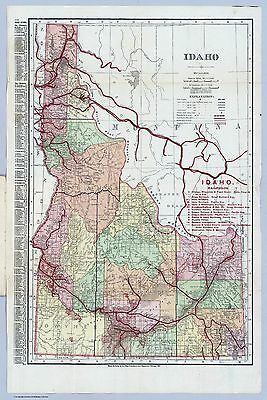
Cram's Rail Road & Township Map of Idaho.
Cram Atlas Company
1875
ct001237r
Rand McNally and Company.
Map showing the land grant of the Northern Pacific Railroad Company in Montana, Idaho, and in part of North Dakota, and in part of eastern Washington, reaching from Dickinson, North Dakota, to Ritzville, eastern Washington.
c1890
pm001340
Browning, A. E.
Wood River Valley with Hailey in the foreground, 1884. A. E. Browning. Collier & Cleveland Lith. Co.
1884
rr002010
Cram, George Franklin, 1841-1928.
Cram’s township and railroad map of Idaho.
1896
rr005110
Williams, Henry T.
New trans-continental map of the Pacific R.R. and routes of overland travel to Colorado, Nebraska, the Black Hills, Utah, Idaho, Nevada, Montana, California and the Pacific Coast.
c1877
ye000009
Geological Survey (U.S.)
Panoramic view of the Yellowstone National Park, Wyoming-Montana-Idaho.
1915
0027010
0041038
0151063
0152065
0352041
0352043
0358047
0425027
0425029
0572039
0579042
0586048
0592044
0594042
0763002
0994011
1012074
1071017
1071018
1074000
1144000
1550060
1550064
1582003
1916001
1916002
1916A
1954100
2054055
2094060
2130001
2134096
2212236
2247000
2307026
2449088
2483039
2585075
2738013
2738019
2738021
2738022
2756002
2809065
2844071
3054011
3382003
3888047
4324024
4574038
4587067
4727055
4740053
4825061
4894003
4977072
5028143
5028145
5028146
5028148
5041042
5216001
5216002
5216003
5216004
5392A
5392B
5415001
5479103
5755037
5755051
5797085
5940000
5943000
5944000
5945000
5946000
5947000
5948000
6322175
6322176
6322177
6722002
6921129
Features of this DVD
This auction is for a DVD of the maps listed in electronic form,
NOT
the maps themselves.
These maps are VERY high resolution and can be printed at FULL SCALE or LARGER for framing and display. The results are very high quality and convincing.
Ad and disk copyright 2013
Euriskodata
All Rights Reserved
Powered by
eBay Turbo Lister
The free listing tool. List your items fast and easy and manage your active items.
